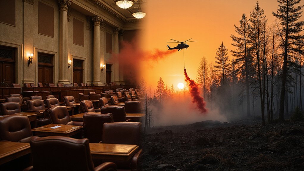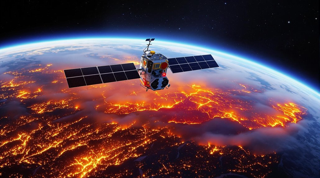
FireSat, a constellation of 50+ satellites, is revolutionizing wildfire detection. Launched March 2025, these space sentinels spot flames as small as a classroom using infrared cameras and AI. Updates come every 20 minutes—not days. The tech transmits critical data in just three minutes, saving an estimated $1 million per contained fire. Google threw in $13 million because, surprise, stopping forest fires quickly is actually important. The full system might just change everything.
As wildfires rage with increasing ferocity across the globe, a revolutionary fleet of eyes in the sky is preparing to transform how we detect and battle these destructive forces. The FireSat satellite constellation, with its first satellite launched via SpaceX on March 14, 2025, will eventually comprise more than 50 satellites capable of detecting fires as small as a classroom.
The future of wildfire management isn’t coming—it’s launching, with a constellation of satellites ready to spot flames before they become infernos.
These aren’t your average satellites. They’re equipped with 6-band multispectral infrared cameras and AI-powered analysis systems that can tell the difference between your backyard barbecue and an actual forest fire. Pretty neat trick. The technology maps fire perimeters and tracks changes in behavior—basically giving firefighters X-ray vision into how these blazes evolve.
Speed matters when forests are turning to ash. FireSat processes data on-orbit and transmits critical information via inter-satellite links in just three minutes. No more waiting around for the satellite to pass over a ground station. That’s so 2023.
The initial three satellites will image locations twice daily, but the full constellation will provide updates every 20 minutes. They’ll operate 24/7, because—newsflash—fires don’t take nights off. The system focuses on wildfire-prone regions but will eventually cover nearly all of Earth’s surface.
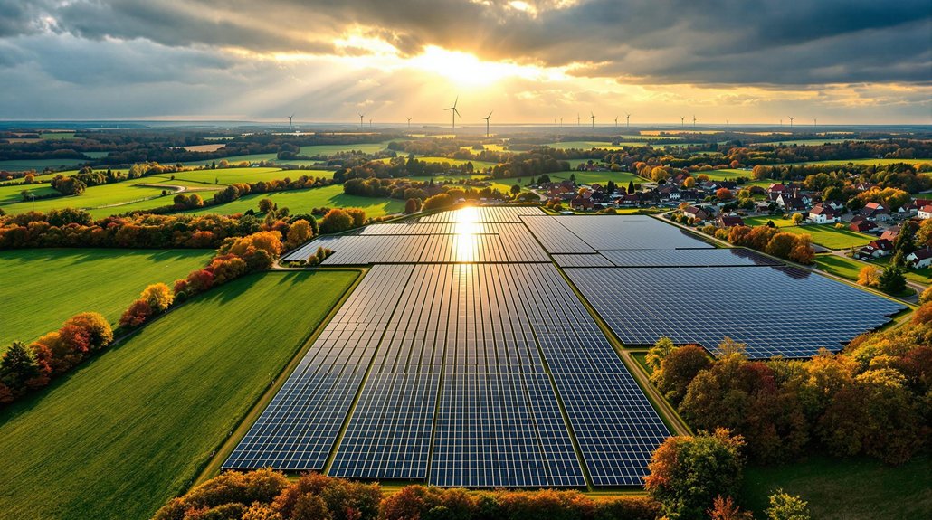
Each contained fire saves an estimated $1 million. Do the math. This technology isn’t just saving trees; it’s saving serious cash. Plus, it reduces CO2 emissions from uncontrolled fires and builds a historical record to help scientists develop better prevention strategies.
Muon Space and Earth Fire Alliance didn’t develop this in a vacuum. They collaborated with hundreds of fire response experts and secured backing from heavy hitters like Google and the Moore Foundation. The $13 million from Google has been instrumental in bringing this innovative project to life. The project was born after Juliet Rothenberg experienced firsthand the limitations of existing wildfire detection during her own California wildfire evacuation.
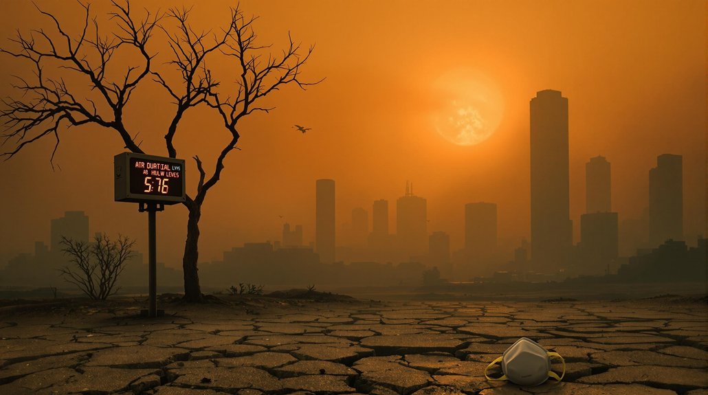
Climate change isn’t slowing down, and wildfires are getting worse. These space sentinels are arriving just in time. Because when you’re fighting an enemy that can move faster than you can run, you need all the high-tech help you can get.