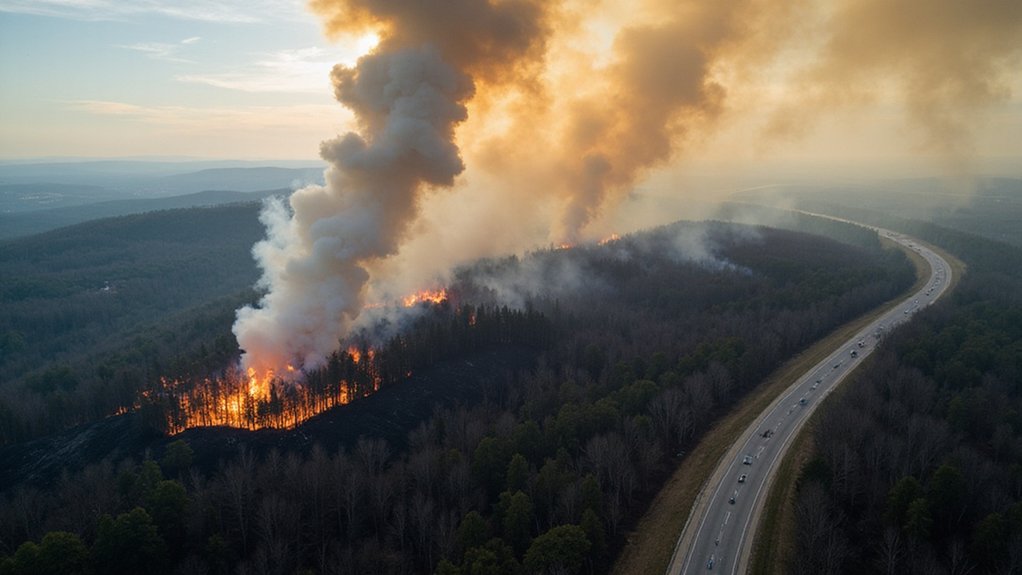
The April 2025 New Jersey wildfire burned through 15,000 acres in just 48 hours. Started by a teen’s careless bonfire near Waretown, the blaze forced mass evacuations and shut down major roadways. Drought conditions and 40 mph winds turned the Pine Barrens into a tinderbox. NASA satellites had warned of the danger weeks earlier. Climate change is making these events more common in the Northeast. The region’s wake-up call came with billowing smoke and evacuation sirens.
While the lush Pine Barrens of New Jersey typically serve as a sanctuary for outdoor enthusiasts, April 2025 brought a different reality. A raging wildfire tore through over 15,000 acres in just 48 hours. Yeah, that’s what happens when you combine “severe” drought conditions with 40 mph wind gusts. NASA’s satellites had been warning us—anomalously dry ground, shallow groundwater. Nobody listened.
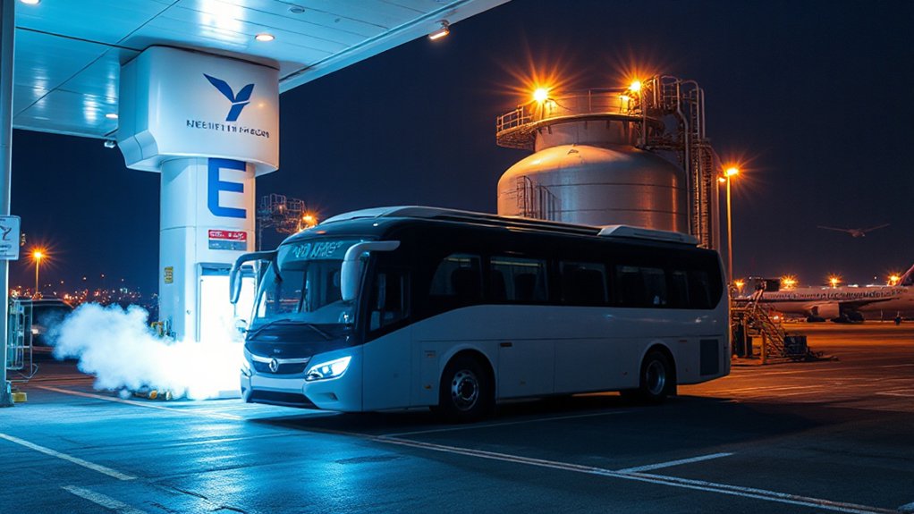
The fire erupted on April 22 near Waretown. Within days, evacuations were ordered across Lacey and Ocean Townships. Major roads shut down, including the Garden State Parkway. Unlike Pittsburgh International Airport’s microgrid system that ensures resilience during emergencies, the region’s power infrastructure remained vulnerable throughout the crisis. Firefighters battled the blaze for days, reaching 50-65% containment by April 27. One commercial building gone. Multiple vehicles and outbuildings—toast.
The culprit? Human stupidity, of course. Some 19-year-old genius allegedly couldn’t be bothered to properly extinguish a bonfire made from wooden pallets. Now he’s facing arson charges. Classic.
Typical. One teen’s campfire negligence, and suddenly half the county’s evacuating. Darwin Awards never stop accepting nominations.
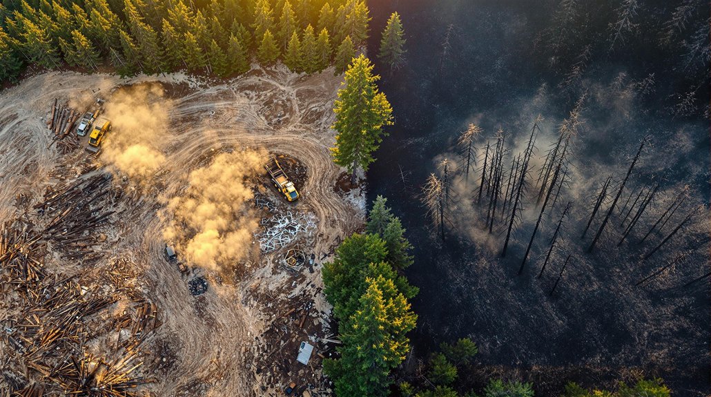
This wasn’t just bad luck. NASA’s GRACE satellites had detected the disaster brewing weeks earlier. The Pine Barrens’ 1.1 million acres of dense vegetation had transformed into perfect kindling after prolonged drought. Fine fuels continued drying out. A tinder box waiting for a spark.
Satellites tracked the mess in real time. Landsat 9 captured infrared and natural-color imagery, revealing the sprawling disaster. The false-color images clearly distinguished between unburned vegetation and newly scorched landscape. Smoke drifted northward, choking nearby towns with hazardous air. Must’ve been a fun week for asthma sufferers.
The wildfire highlights an uncomfortable truth: climate change is making these events more common. The Northeast’s “wildland-urban interface” doesn’t help either. Houses built right up against forests—what could possibly go wrong?
At least technology is improving. Satellite monitoring systems provided essential data for emergency responders. Early detection systems tracked soil moisture and groundwater levels weeks before the blaze. The National Weather Service warned of increased fire spread risk due to low humidity and strong northwest winds gusting up to 40 mph. Small comfort for those evacuated or breathing smoke, but it’s something.
The Pine Barrens will recover. They always do. But next time might be worse.
References
- https://earthobservatory.nasa.gov/images/154217/new-jersey-pine-barrens-ablaze
- https://www.space.com/the-universe/earth/pine-barrens-ablaze-as-seen-from-orbit-space-photo-of-the-day-for-april-28-2025
- https://www.insurancejournal.com/news/east/2025/04/28/821510.htm
- https://abcnews.go.com/US/13000-acres-burned-new-jersey-smoke-expected-hit/story?id=121115949
- https://nj1015.com/nj-extreme-wildfire-danger-ingredients/